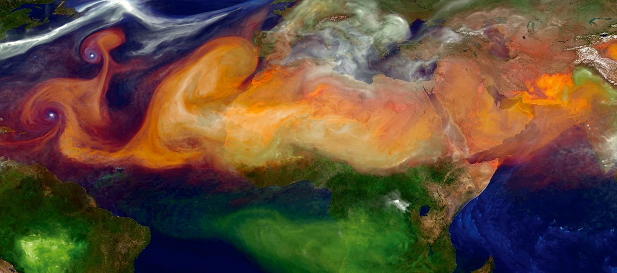
The routine use of remote sensing techniques has become an indispensable element of many activities in our modern world. A huge variety of sensors on satellites, airplanes, unmanned aerial vehicles (“drones”), and other platforms provide data for a variety of applications on a regular basis. From disaster response after hurricanes, earthquakes, floods, and oil spills to monitoring ship traffic and floating sea ice, remote sensing technology enables us to acquire high-resolution satellite images of most areas in the world and to obtain near-real-time measurements of sea surface temperatures, currents, wave heights, wind speeds, atmospheric temperature profiles, clouds, aerosols, and more.
The MPS track “Applied Remote Sensing” offered by the University of Miami’s Rosenstiel School of Marine, Atmospheric, and Earth Science and Center for Southeastern Tropical Advanced Remote Sensing (CSTARS) is tailored to the needs of students who seek to gain theoretical knowledge and practical, real-world experiences geared towards a successful career in the field of remote sensing in both public and private sectors. This track is also appropriate for those already in the workforce who require additional training or are looking to expand upon their knowledge and skills. UM / Rosenstiel School / CSTARS is one of the leading remote sensing institutions in the U.S., with direct access to data from many satellites and excellent connections to data users (and potential employers of the students) and partner institutions all over the world.
Students entering this track need to have a Bachelor’s degree in Mathematics, Physics, Geosciences, or Engineering or an equivalent degree from an accredited U.S. institution of higher education. See Program Requirements for more details.
Applied Remote Sensing (ARS)
The MPS in “Applied Remote Sensing” offered by the University of Miami’s Rosenstiel School of Marine, Atmospheric, and Earth Science and Center for Southeastern Tropical Advanced Remote Sensing (CSTARS) is tailored to the needs of students who seek to gain theoretical knowledge and practical, real-world experiences geared towards a successful career in the field of remote sensing in both public and private sectors. This program is also appropriate for those already in the workforce who require additional training or are looking to expand upon their knowledge and skills.
Program Requirements


